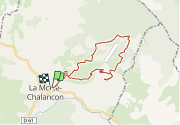
La Motte Chalancon - Plateau de la Chau

jean-marie.parachini
User


8h05
Difficulty : Medium

FREE GPS app for hiking
 SityTrail
IGN / Geographical institutes
SityTrail Plus
The world is yours!
About
Trail Walking of 8.8 km to be discovered at Auvergne-Rhône-Alpes, Drôme, La Motte-Chalancon. This trail is proposed by jean-marie.parachini.
Description
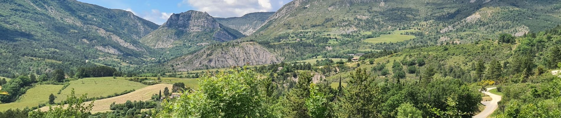
Panorama 360 ° à la Croix du plateau de la Chau. Lavandes, thym, lin bleu, orchidées, coquelicots et genêts etc... jalonnent le parcours.
Photos


35 photos in total. Please click on a photo to see them all in the gallery.
Positioning
Comments